Interior of a modern data center. (Photo by Imaginima/Getty Images)
About one-third of the state of Virginia is under extreme drought conditions, according to the U.S. Drought Monitor, and Gov. Abigail Spanberger is urging citizens to conserve water. So when local water authorities implement restrictions on water use, are there specific carve outs and rules for data centers, which use hundreds of thousands of gallons of water to cool their computer systems?
No. Across multiple localities, they’re treated the same as all other commercial, industrial and residential customers, state and local officials revealed.
The Department of Environmental Quality is responsible for permitting the groundwater withdrawal for public water authorities. Once that permit is granted it is up to each authority to manage their water use and limit customers as needed, based on the weather conditions.
“Any of the permittees that are withdrawing are very cognizant of what they’re pulling out,” Weedon Cloe, manager of the Office of Water Supply at DEQ, said. “They have the limits and those limits are baked in during specific times of the year to ensure that the resource is not depleted.”
There are provisions in the drought assessment and response plan that allow DEQ’s director to alter those permits in extreme circumstances. Cloe said that the department is reviewing those procedures, since the state is experiencing the worst drought they’ve seen in decades.
Virginia hasn’t been this dry since 2002, when the extreme conditions triggered new standards.
“The entire water supply program came (from) that drought. It was severe. It was like a huge swath through the center of the state running north south,” Cloe said.
There are three main stages of drought that are declared by DEQ, which help localities decide on what water restrictions to implement.
Under a drought watch, the state agency recommends localities minimize nonessential water use and to get a contingency plan in place.
In the drought warning category, officials recommend local leaders to start voluntary water restrictions and aggressively identify any leaks or repairs needed.
Once a drought emergency is declared, mandatory restrictions are put in place and if water customers don’t curb inessential water like irrigation, washing paved surfaces, or filling up pools, they could be fined.
Some places, like Henrico County, have not needed to venture into the mandatory category for their customers in two decades.
Bentley Chan, the director of Henrico’s department of public utilities, said that of the eleven data centers in the county, only one makes it into the list of their top ten water users. Apartment complexes and hospitals are the biggest water consumers there, and they don’t have specific usage rules in times of drought.
“It’s not just on the residential customers (to restrict water use) and you’ll find that a lot of the industrial users have extraneous uses, such as irrigation, additional cleaning, and things of that nature,” Chan said. “And we do ask everybody to be a part of the mandatory restrictions … to preserve the flow in the James River.”
Similar policies are used in Loudoun and Fairfax counties that house over 200 data centers combined. In Fairfax, the county follows guidance from the Metropolitan Washington Council of Governments that requires all customers to implement reductions under the mandatory orders.
In Norfolk, there are no data centers online at this time that use water from their utilities, according to a utility representative. The representative went on to state that since they get their water from multiple sources, it is rare to have to implement restrictions.
“If there comes such a time (of data centers), the department would analyze the capacity versus the needs and factor in all conditions to ensure they’re able to adequately provide for all customers,” the representative said in a statement.
Western Virginia Water Authority provides water to 69,000 customers in the Roanoke area, where there are also no data centers online yet. A representative told the Mercury that they are considering updating their policies once a data center is built – with one from Google expected to begin taking in water in 2028 that will be authorized to use up to 8 million gallons of water per day.
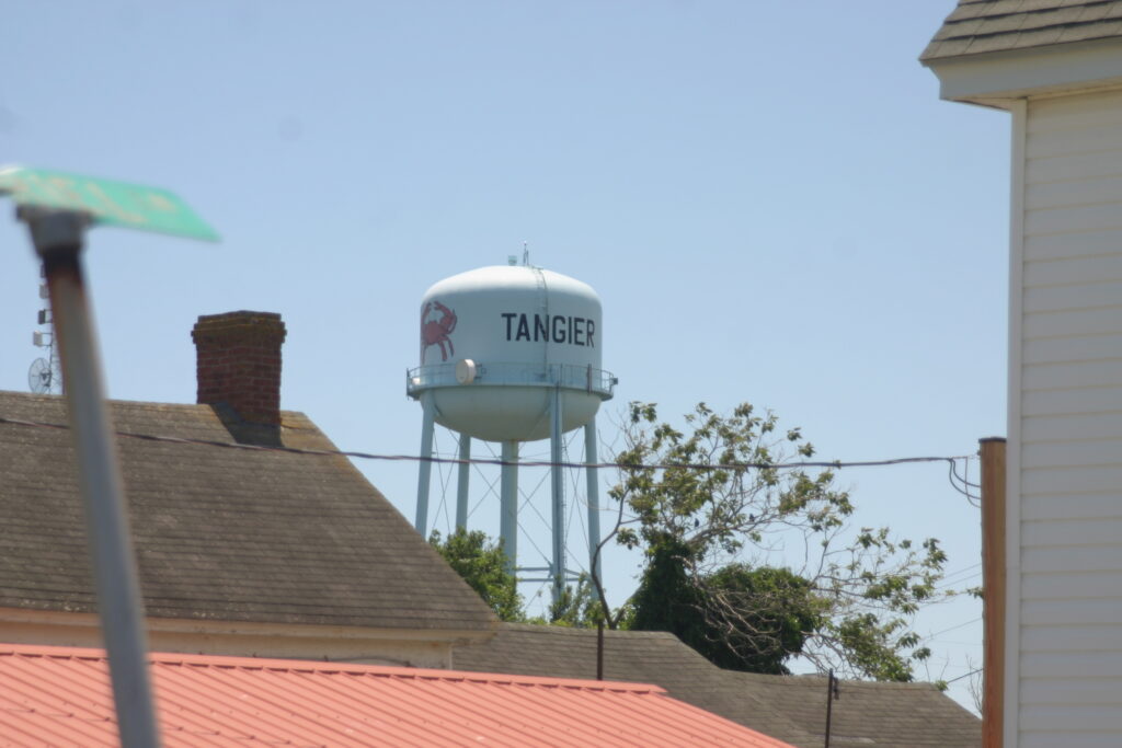
Water tower for the town of Tangier, VA. June, 8 2026. (Photo by Shannon Heckt/Virginia Mercury)
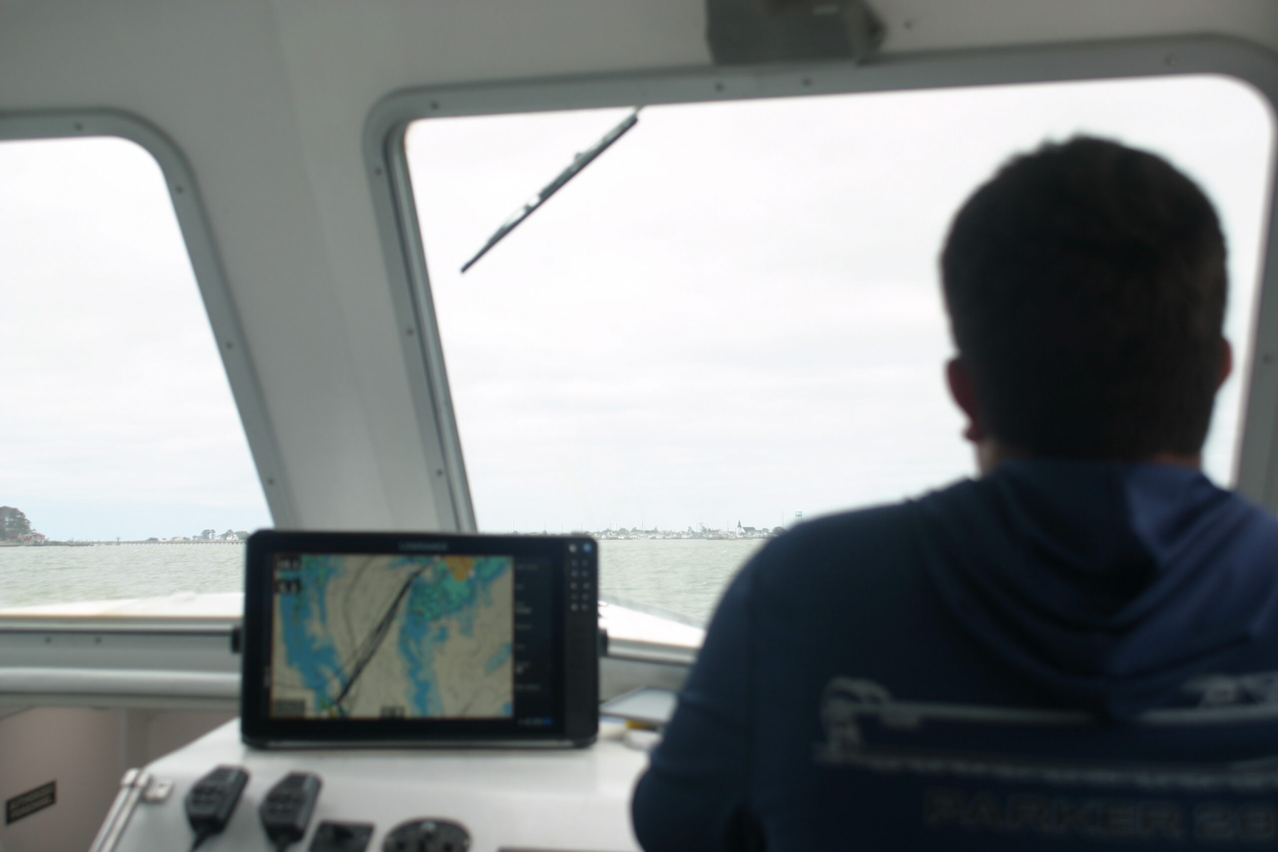
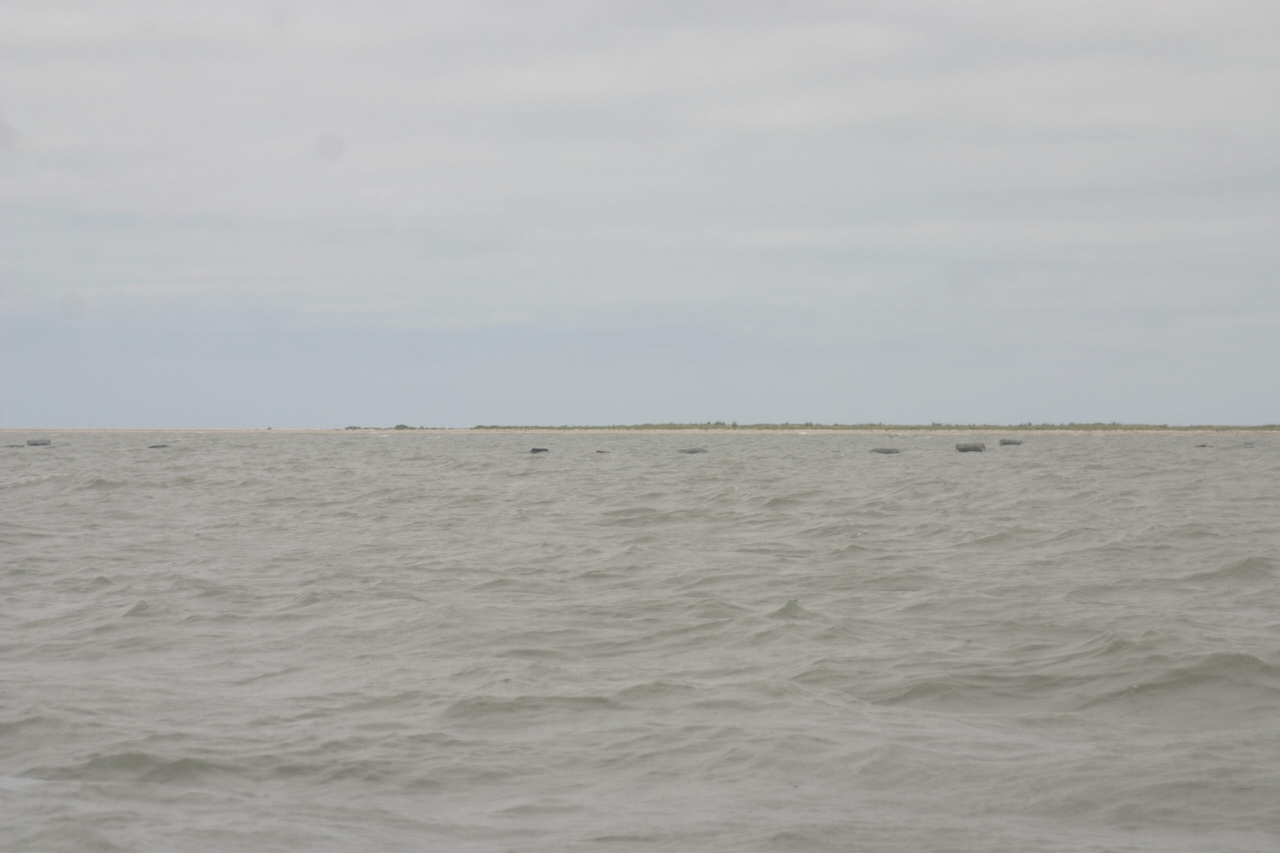
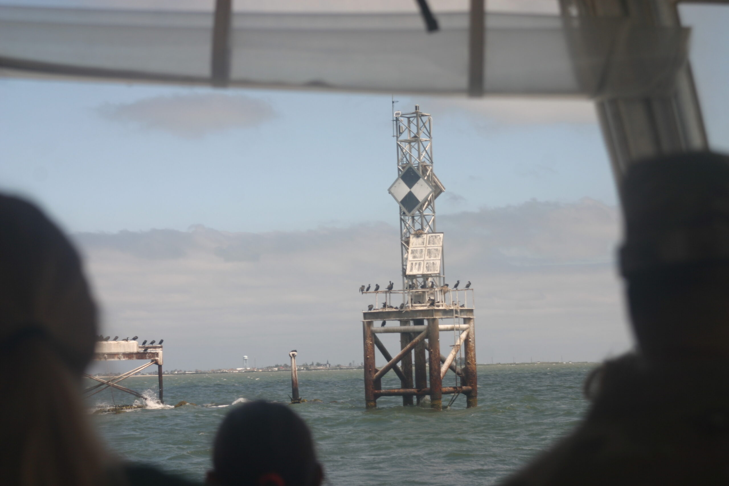
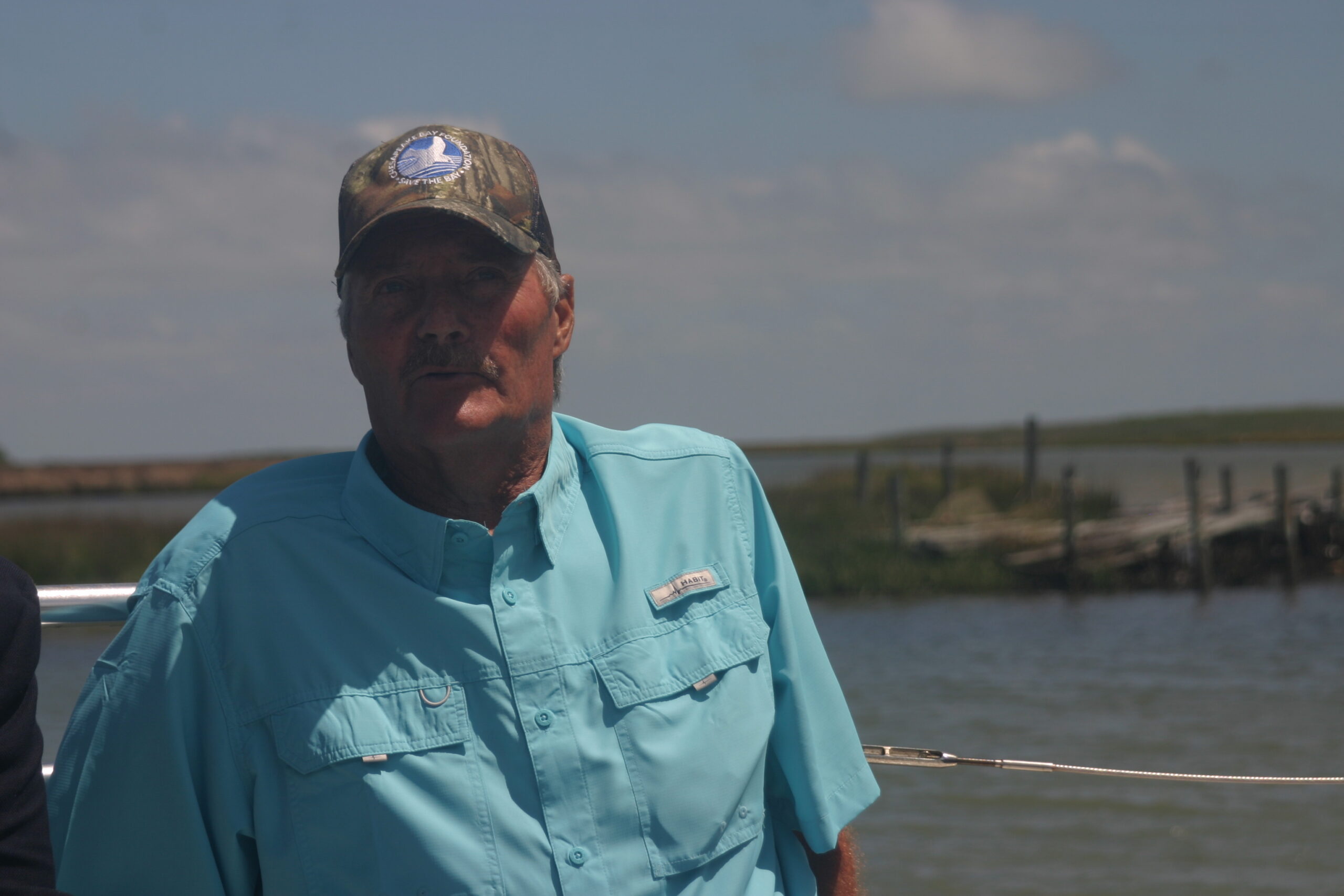
TANGIER ISLAND, CHESAPEAKE BAY — On a windy June morning, the Chesapeake Bay Foundation’s boat rocked violently on the waves of its namesake watershed, brackish drops splashing into the vessel as it sped towards Tangier Island, a 1.2 square mile land mass that was first settled in colonial times but whose future is now uncertain.
On the hour ride from the Crisfield, Maryland marina, Tangier Island Mayor James “Ooker” Eskridge detailed how much the land of his home has been battered away by storms and rising sea levels. Tangier has reportedly lost two-thirds of its land mass since 1850.
It’s not clear exactly how many residents live there; the 2020 U.S. Census Bureau indicated 430 people, while other sources place it closer to 252. What’s undeniable, Eskridge said, is that more people leave each year.
The island needs greater financial investment from the federal government if it is to survive, he added.
“But I know there’s billions of dollars being spent on creating islands like Poplar Island,” a similarly eroded island off the coast of Maryland, Eskridge said. ”They built that island back up for nothing. Nobody lives there. … Now here we are, we have a working waterman’s community, and we’re having a struggle just to protect it.”
Tangier Mayor James “Ooker” Eskridge shows map of the island’s land-loss. June 8, 2026. (Photo by Shannon Heckt/Virginia Mercury)
For generations, the island has been home to people who made their living crabbing and fishing. The residents have a unique cadence, with “ a tendency to prolong a vowel,” Tangier Island native and linguist David L. Shores told The National Geographic. The island can only be reached by boat or plane.
“We’ve been here for hundreds of years and we’d like to stay. Tangier is very savable now. I know it’s a lot of money to the community, but to the (federal) government it’s not,” Eskridge said.
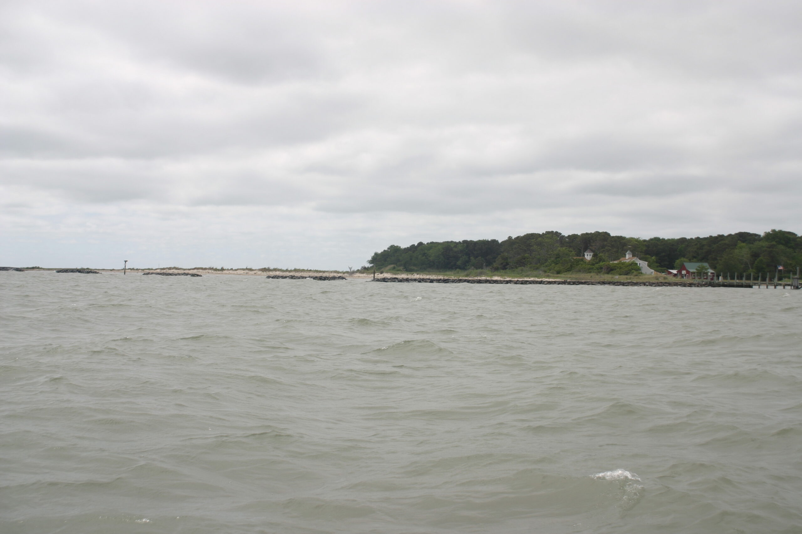
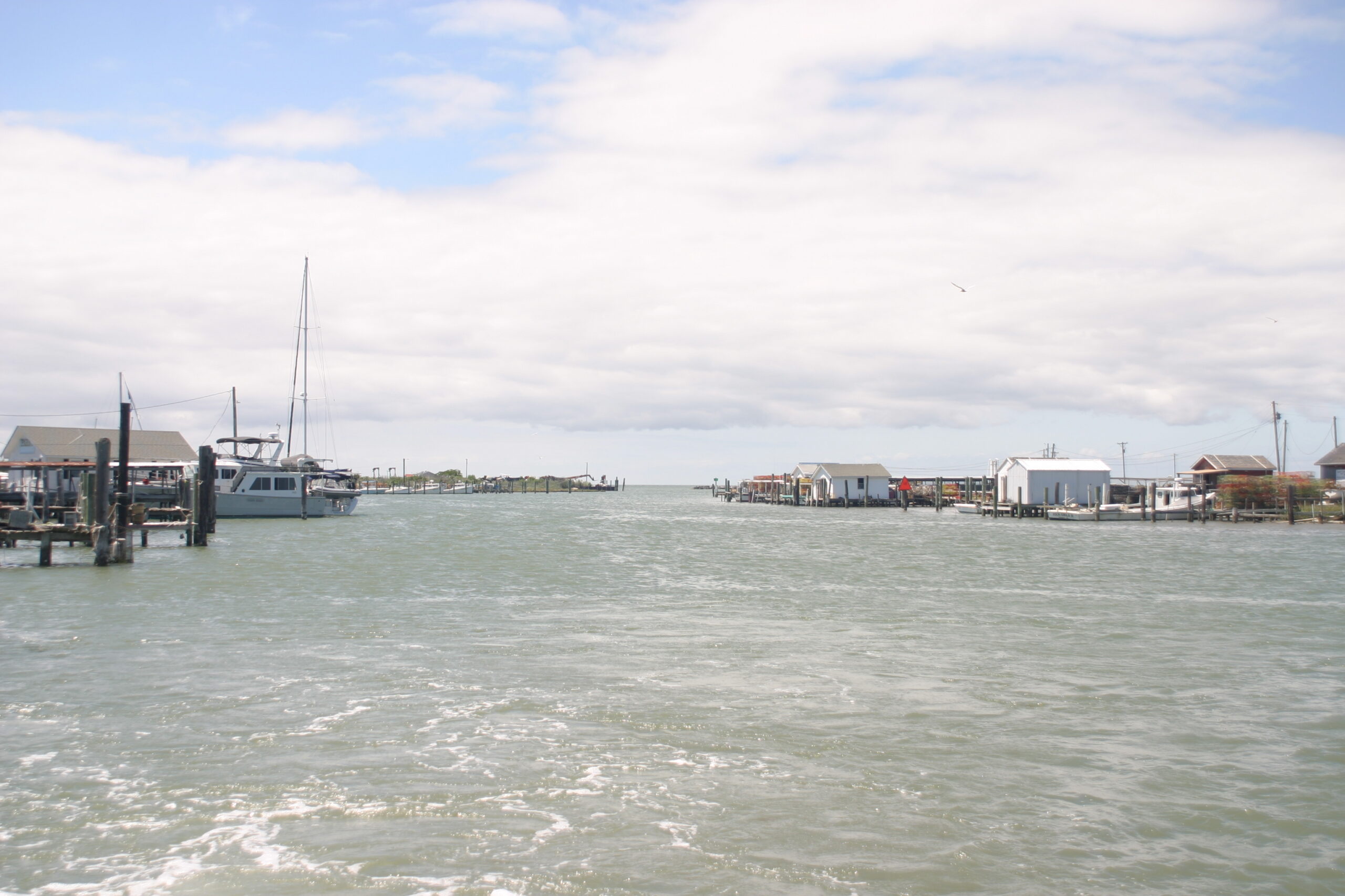
Tangier Island comes into view on the horizon of the Chesapeake Bay. June 8, 2026. (Photo by Shannon Heckt/Virginia Mercury)
Homes here stand just a few feet above sea level on some parts of the island. Port Isobel, which rests on the smaller island east of Tangier, serves as a research and education hub, with breakwaters allowing the beach to hold its shape and forested land.
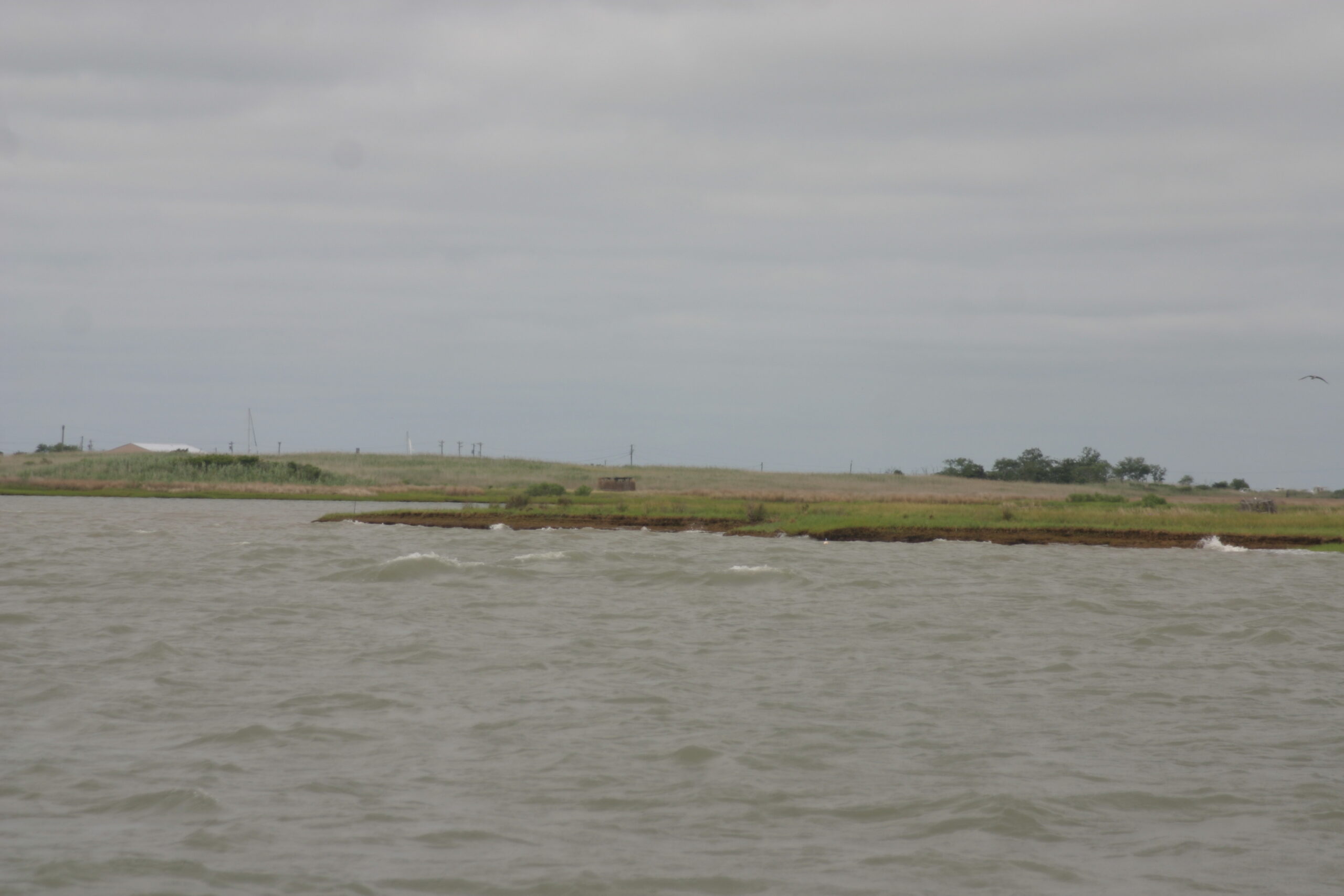
Wave erosion on the coast of Tangier Island off the Virginia coast, June 8, 2026. (Photo by Shannon Heckt/Virginia Mercury)
Tangier is not just a singular aspect of Virginia’s coastal culture and history. The marshes surrounding the island also serve as essential habitat for crabs, fish and oysters who need seagrasses to survive.
“We’re working to try to make sure that this really unique archipelago out in the middle of the Bay that anchors the bay-grasses, that anchors the oyster reefs, that is comprised of marshes that are incredibly important habitat to the Chesapeake Bay … is preserved,” Tom Ackerman, the Chesapeake Bay Foundation’s vice president for environmental education, said. “Because if we lose the land, everything else is gonna just get blown out.”
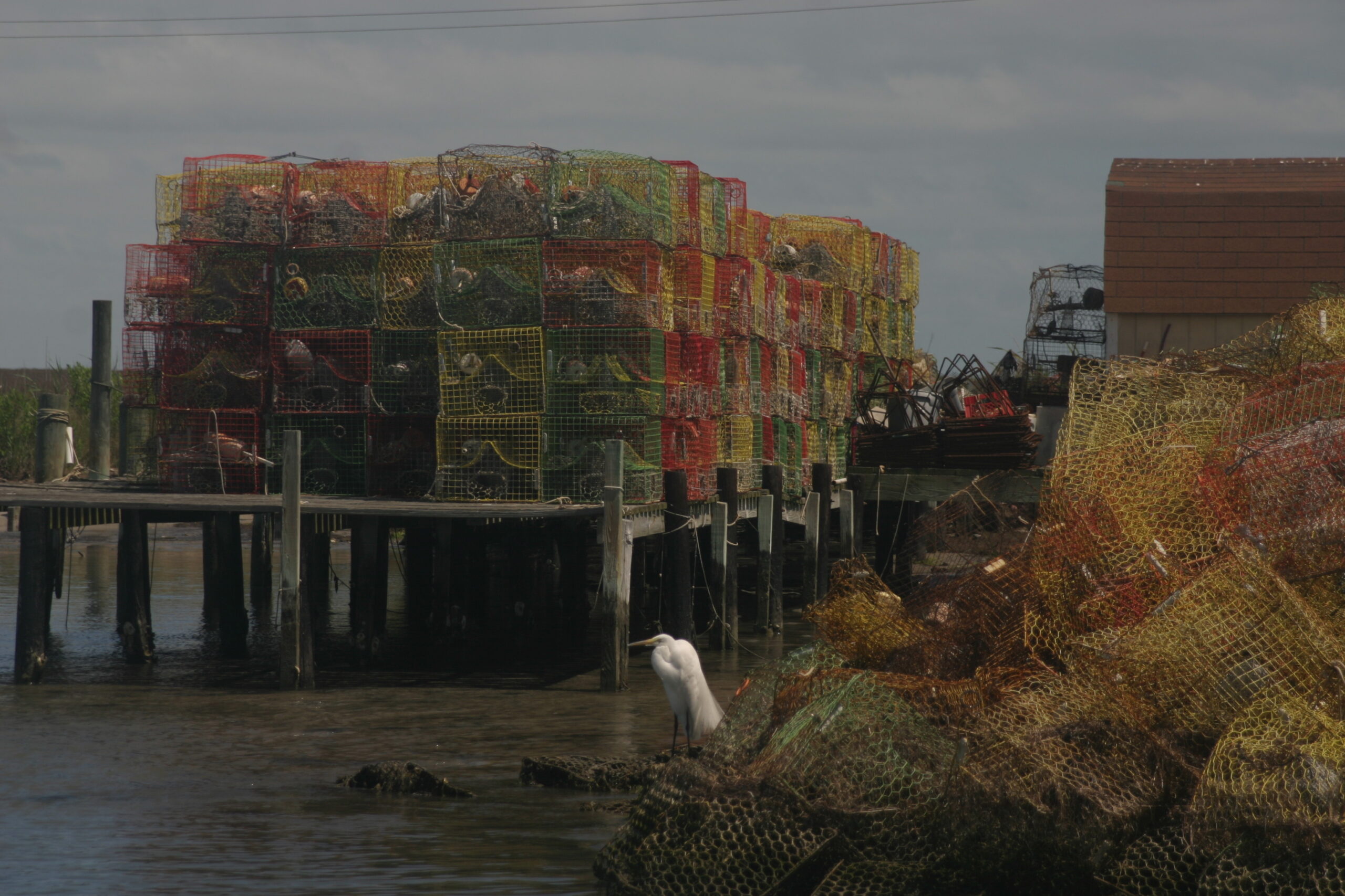
Crab pots lined up on pier on Tangier Island off the Virginia coast. June 8, 2026. (Photo by Shannon Heckt/Virginia Mercury)
The island’s economy is sustained by blue crab and oyster fishing.
Tangier’s fishermen are estimated to harvest about 13% of the entire Chesapeake’s blue crabs. Oysters harvesting made a major comeback when authorities halted winter crab dredging, allowing the oyster populations to rebound. It’s a welcome change from prior decades, locals and conservationists say.
In the 1970s and 1980s, oysters in the Bay struggled to survive. Chris Moore with CBF explained that three main factors contributed to the former decrease: over-harvesting, pollution and disease.
Recent efforts to restore the species in the Bay have been incredibly successful and enable a profitable winter business for the Tangier watermen.
“Today, the only way for the waterman to make a living (in the winter) is oysters. And it’s vital that we maintain a healthy population, which we do have now. Oysters are doing exceptionally well now,” Eskridge said.
Oyster beds in the Chesapeake Bay off the coast of Tangier Island, June 8, 2026. (Photo by Shannon Heckt/Virginia Mercury)
The oysters also serve as natural coastal protection.
Oyster reefs can help slow down incoming stormwater and serve as natural breakwaters. State and federal agencies are putting them to use through a massive oyster habitat restoration effort, the Tangier-Pocomoke Sound Oyster Recovery Project.
At full capacity, the project will reserve over 4,000 acres of the Bay for oyster habitat, some of which will be available for harvesting by local fishermen. Work on the first 275 acres of the project will begin in 2028.
“I think it’ll actually be a really good example of how we can continue to … think about how we do restoration differently and how it can support more uses as we continue to get better at it,” Moore said.
Several groups have banded together to create a shoreline protection plan to guide federal and state funding to projects that buffer the beaches and staunch erosion.
The consulting and design group Bay Land has been meeting with locals to identify key areas where berms should be built, dredged materials could build up marshes and natural infrastructure can be planted. The roadmap is anticipated to be completed later this year.
The town had previously been awarded $356,500 from the National Fish and Wildlife Foundation (NFWF) through the National Coastal Resilience Fund, to begin the community engagement to identify priorities for the roadmap.
This year, the group didn’t receive additional funding of $1.2 million from NFWF to start moving some of the plans in the roadmap into the design phase, which they called “a disappointment.”
Without that money, Bay Land representatives said, projects will be delayed another year before design finalization, time that many on the island say they don’t have. Bay Land will apply again in February when the funding applications reopen.
As the boat curved around the island, a lighthouse appeared far in the distance. Terry Parks, a life-long resident of the island, said his grandfather told stories of being able to walk on land almost all the way to the lighthouse when he was young.
Parks piloted the boat along that same land, which is now only a few feet below the water’s surface.
Lighthouse off the coast of Tangier Island, VA. June 8, 2026. (Photo by Shannon Heckt/Virginia Mercury)
The boat pulled up along the northwestern portion of the island, where a breach in the shoreline in a place called Tom’s Gut allows water to freely flow inland, aiding erosion.
The Army Corps of Engineers tried to fix the breach by using some of the materials dredged annually from the island’s central canal. It wasn’t enough to fill the gap and washed away.
“I think it’s critical to see if you can fix that breach. Just stop that velocity to help that erosion on the marshes on the backside,” said Jeff Swallow with the Army Corps of Engineers.
Tangier Island coastline. June 8, 2026. (Photo by Shannon Heckt/Virginia Mercury)
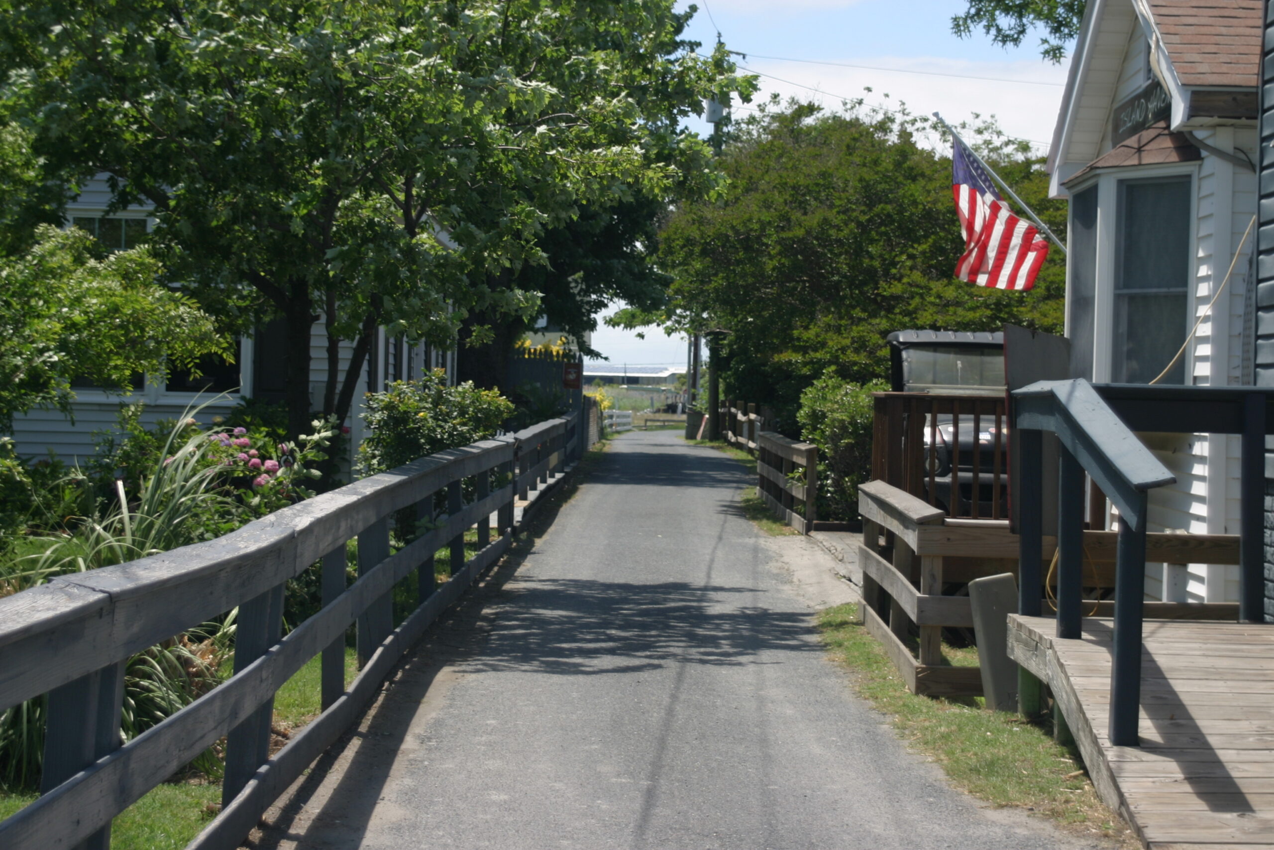
The boat docked downtown and passengers disembarked to walk along the island’s narrow streets, most just wide enough for one golf cart – the main mode of transportation on Tangier Island.
Narrow street in the town of Tangier, VA. June, 8 2026. (Photo by Shannon Heckt/Virginia Mercury)
The visitors, from various state and federal agencies, piled into Lorraine’s, a popular seafood restaurant. Before heading in, Tangier Councilmember Anna Pruitt-Parks admitted the island’s financial struggles have been paramount for residents in recent years.
The focus on generating money and keeping the island’s government and public services afloat may have partially obscured the reality of erosion, Pruitt-Parks said, but the environmental threats can no longer be downplayed.
“As a kid, you don’t notice (changes) as much, but the older I’ve got, I’ll say every week I see a change, especially like in the ditches in the middle of the island,” she noted. “All of that’s been widening and big chunks of marsh are just breaking off and it’s really hard to watch. Very hard to watch.”
Cemetery in Tangier, VA. June, 8 2026. (Photo by Shannon Heckt/Virginia Mercury)
Inside the eatery, agency representatives shared the latest on state funding for the resiliency plan and new laws that could help Tangier.
Del. Robert Bloxom, R-Accomack, successfully passed House Bill 52 to the Virginia General Assembly this year. The measure requires materials that are dredged up from canals and other projects to be reused for resiliency projects, like building up marshes, starting in 2027.
There are some exceptions that would limit the use of some materials. Maryland already has a similar policy in place, which has helped the state pursue coastal projects such as the one on Poplar Island.
Eskridge advocated for urgent action, not endless legislative debate.
“I know many studies have been done…but we’re losing the land at such a rapid rate. We don’t really have the time to play around,” Eskridge said. “And I believe there’s probably been enough money spent on studies that you could actually have protected all this by now.”
Tangier Mayor James “Ooker” Eskridge, June 8, 2026. (Photo by Shannon Heckt/Virginia Mercury)
After feasting on cuisine that originated from the waters surrounding them, the groups conclude their meeting by pinpointing other funding sources and potential partner organizations to help them preserve the island.
Even as the clock ticked, Eskridge said he was encouraged to see state, local, and federal agencies try to find solutions to protect Tangier.
While the visitors boarded the boat to leave, skiffs shook in the waves while seabirds picked at empty crab pots. Locals’ casual conversations carry over the harbor lined with “for sale” signs.
People have suggested Eskridge follow the droves who have departed the island for good, looking for more opportunity in a place that isn’t being swallowed up by the sea. He always tells them the same thing: “There is no place like home.”
View of the Chesapeake Bay from downtown pier in Tangier Island, June, 8 2026. (Photo by Shannon Heckt/Virginia Mercury)
Gov. Abigail Spanberger speaks to reporters Wednesday at the Virginia Emergency Operations Center in Richmond after participating in hurricane preparedness briefings and emergency response simulations ahead of the 2026 Atlantic hurricane season. (Photo by Markus Schmidt/Virginia Mercury)
With the 2026 Atlantic hurricane season underway, Virginia officials are urging residents to prepare now for severe weather that can bring flooding, damaging winds, tornadoes and prolonged power outages across the commonwealth.
State leaders gathered Wednesday at the Virginia Emergency Operations Center in Richmond for hurricane preparedness briefings and tabletop simulations meant to test coordination among emergency management agencies, first responders and state officials ahead of the busiest stretch of storm season.
The Atlantic hurricane season began June 1 and runs through Nov. 30, with Virginia typically facing its greatest risk from late summer into early fall.
“We spent the morning here in the emergency operations center, going through briefings and preparedness simulations,” Gov. Abigail Spanberger told reporters after the briefing. “While it is beautiful outside today, we know that now is the time for us to begin preparing.”
Spanberger pointed to the lingering damage left by Hurricane Helene, which tore through parts of Southwest Virginia after moving inland through the Southeast in September 2024.
“We know that storms that started in the Atlantic or the Gulf can come north and cause severe damage in Virginia,” she said. “We saw this with the devastation caused by Hurricane Helene, and communities are still working to recover and rebuild.”
Virginia later estimated roughly $4 billion in damage statewide. Nearly two years later, some communities are still rebuilding infrastructure and tourism economies.
Emergency management officials said preparing before storms remains one of the most effective ways to reduce injuries, property damage and service disruptions during severe weather.
“Preparedness starts long before a storm appears on the forecast map,” said Lauren Opett, acting state coordinator of emergency management. “The best time to gather supplies, review evacuation plans, and discuss emergency procedures with your household is now.”
Opett said residents should focus on practical steps that can be handled before severe weather threatens the state.
“Small steps taken today can make a tremendous difference when severe weather impacts Virginia,” she said. “Our team at VDEM stands ready to support communities across the Commonwealth throughout hurricane season.”
Emergency officials further warned that tropical systems do not need to make landfall in Virginia to create dangerous conditions. Hurricanes and tropical storms can trigger inland flooding, tornadoes, storm surge, heavy rain and power outages far from the coast.
Spanberger also encouraged Virginians to begin by developing emergency plans for their households. That includes identifying evacuation routes, choosing meeting locations if family members become separated and signing up for wireless emergency alerts.
“The first thing that we can all do to get prepared is to just make a plan,” she said. “If you need to evacuate this hurricane season, you can get your family to safety faster if you have already thought about what to do. Where would you go? How will you get there? And figure out how to reconnect with family if you’re not together at the time that a storm hits.”
Residents in coastal and flood-prone areas are also being encouraged to review evacuation zones before storms threaten the state.
Spanberger directed Virginians to KnowYourZoneVA.org for evacuation information while emphasizing the importance of building emergency kits with supplies to last at least 72 hours.
Emergency management materials released Wednesday advises Virginians to stock flashlights, batteries, medications and other essentials. The governor urged home owners to secure loose outdoor objects, clean gutters, trim damaged tree limbs and inspect backup power equipment ahead of severe weather.
State officials also emphasized generator safety, reminding residents to check carbon monoxide detector batteries before storms arrive and operate generators outdoors and away from homes.
Flood insurance was another major focus of Wednesday’s briefing. Spanberger warned that many standard property insurance policies do not cover flood damage and noted that flood insurance policies can take up to 30 days before becoming active.
“It’s better not to wait until a storm is imminently coming our way,” Spanberger said.
Just one inch of water inside a home or office can cause thousands of dollars in damage, including repairs to drywall, flooring and furniture.
Businesses are also encouraged to review emergency response plans, communicate with vendors about possible supply chain disruptions and protect important records and computer systems before storms develop.
But Virginia, Spanberger said, remains prepared for hurricane season.
“We are working together to collaborate across state agencies,” she said. “First responders, community organizations and individual Virginians are essential to our effective disaster response.”
The Virginia Department of Emergency Management is encouraging residents to monitor trusted weather forecasts and visit VAEmergency.gov for preparedness guidance and emergency information throughout hurricane season.
The Rapidan River experiencing drought conditions in early September of 2023 (Charlie Paullin/Virginia Mercury)
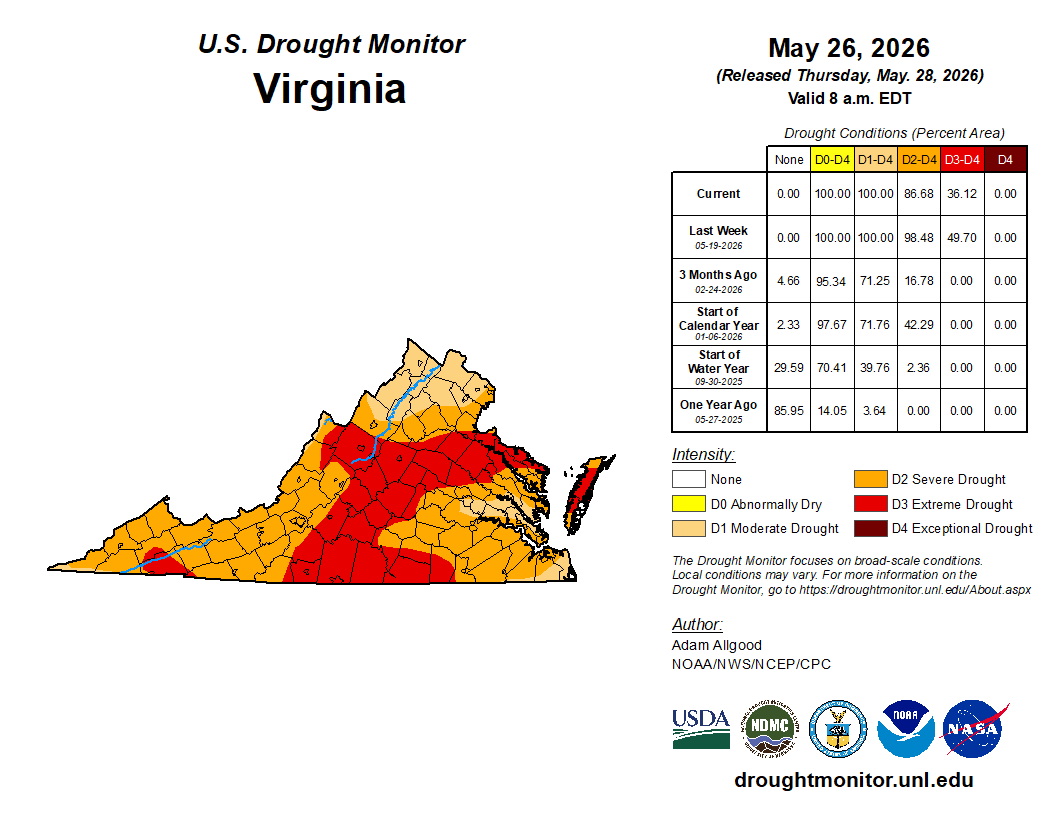
Many parts of Virginia ended May with soaking rains after reports showed 80% of the state was experiencing “severe drought” conditions. While the rain that moved through much of the state helped ease some of the dryness, the drought remains.
“We realized about 2-5 inches of rain throughout the commonwealth,” said Weedon Cloe, who manages the Department of Environmental Quality’s Office of Water Supply. “And that went a long way to making some short term improvements in stream flow, and precipitation.”
The state is mostly classified under a “drought warning” by DEQ, but many regions spanning from Southside Virginia into the central part of the state remain in critical groundwater conditions.
This time of year, much of the rain gets caught up in the tree canopy and is absorbed by vegetation before it can reach the water table and replenish groundwater supplies. Cloe said officials did see areas where the water table had bottomed out and received some water recharge from recent rains.
U.S. Drought monitor shows conditions across Virginia at the end of May 2026. (U.S. Drought Monitor)
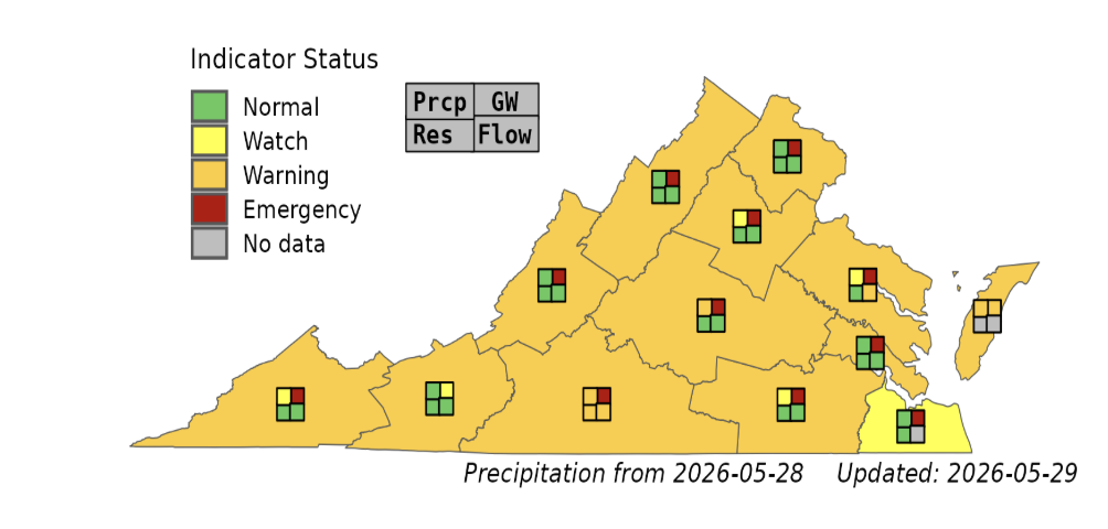
The state experienced an overall dry winter, which left water tables lower than usual, and the dry spring hasn’t helped. DEQ reports that of the 24 groundwater monitoring wells, groundwater levels in 20 are still below the 10th percentile for this time of the year. The state is also about 7.5 inches short on precipitation for the water year that began in October, DEQ states.
“We are limping along,” Cloe said, describing conditions leading into the final weeks of spring before summer heat intensifies.
“I would still say it’s probably one of the driest springs, if not one of in recent history,” Cloe said. “There’s still (a) large swath of D3 (extreme) in the U.S. drought monitor punching up from the southside, up through the middle of the state.”
Drought Indicators and key to Drought Map for the end of May 2026. (Virginia Department of Environmental Quality)
Despite the persistent dry conditions, drinking water reservoirs remain in good condition, Cloe said. If rainfall tapers off, as forecast in the short term, and temperatures rise significantly, agencies have procedures in place to restrict water use if necessary.
It will take more sustained rainfall to fully replenish the water table and make up for the long-term dry conditions the state has experienced.
For a drought warning, DEQ recommends minimizing nonessential water use and beginning voluntary water conservation efforts. The agency also encourages local governments to publicly share water conservation information, continue leak detection and repair programs, and impose mandatory water use restrictions when local water supply conditions warrant.